Patrick Cunningham, of Blue Marble Geographics, maps business growth — and routes on Mars
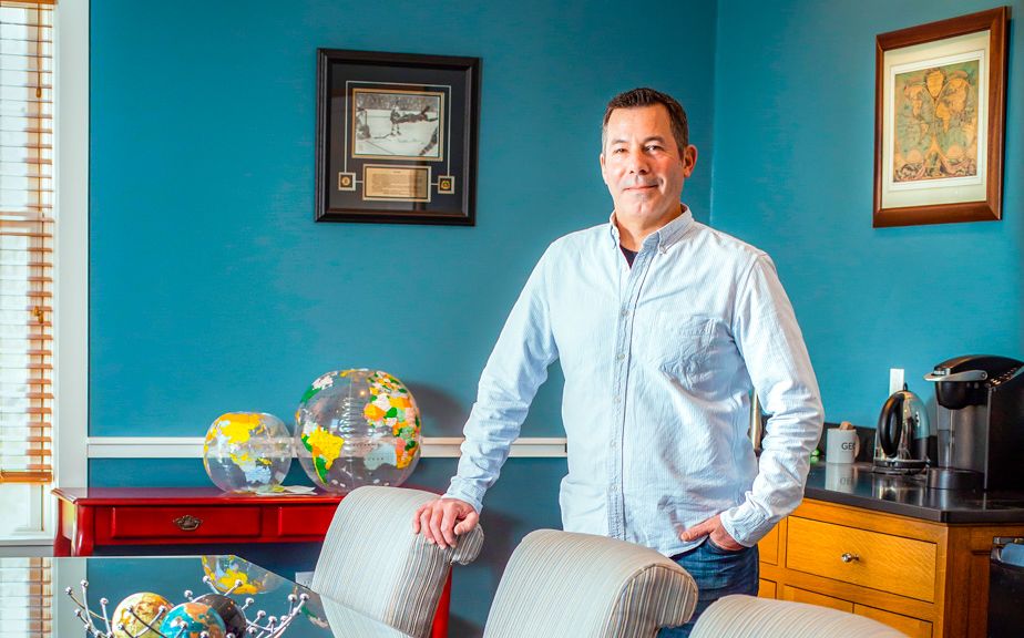 Photo / Tim Greenway
Patrick Cunningham, CEO of Blue Marble Geographics, has seen demand for products increase during the pandemic.
Photo / Tim Greenway
Patrick Cunningham, CEO of Blue Marble Geographics, has seen demand for products increase during the pandemic.
Patrick Cunningham is CEO of Blue Marble Geographics, which makes map-making software. The Hallowell company is moving its software development hub to Brunswick, with plans to expand the staff from 40 to 75. Like many companies in Maine, its products are helping during the COVID-19 pandemic. Golfers and NASA use it, too.
Mainebiz: What does Blue Marble do?
Patrick Cunningham: Blue Marble Geographics makes software for making maps. In less layman terms, it’s a GIS and geodetic software company, with products designed for both novice and experienced geospatial professionals, and is used worldwide in a broad range of industries. We specialize in coordinate conversion, lidar and photogrammetric point cloud processing tools, geospatial software development kits and user-driven product development. Products include Geographic Calculator, Global Mapper and the Global Mapper Lidar Module, a suite of powerful tools for editing and processing lidar and photogrammetric point clouds from drone-captured images.
MB: How is Global Mapper used?
PC: Global Mapper was originally developed for the U.S. Geological Survey to process satellite or aerial collected imagery. Over time, the product became known for its flexibility and its support for more than 350 file formats, from CAD to Google. Today, the most powerful and popular tools include the ability to create a 3D terrain model of the earth’s surface to model water flow, terrain analysis, line of sight, wind, and other 3D modeling. It also has tools for editing and creating maps. It’s popular with all types of surveyors, GIS professionals and others who need to use maps for their business.
MB: How are you doing during the COVID-19 pandemic?
PC: We’ve been assisting the state and other GIS professionals around the world, from Italy to Cambodia, with mapping COVID outbreaks, so we’ve been very busy. The biggest issue, in addition to concern for our fellow citizens, are any ripple effects in the economy. But fortunately, we’re well-positioned to continue to expand our staff, innovate and grow, even during a downturn. We’ve also been able to hire software developers that have been put out of work.
MB: What accounts for Blue Marble’s recent growth?
PC: The most significant factor has been how we’ve embraced the move to 3D mapping. About 10 years ago, lidar collection in GIS and surveying started to take over the industry. Lidar is data collected by a laser, as opposed to a camera, and it creates a 3D point cloud of an area or surface. So, if you scan a street with lidar, you get a 3D model of the street, buildings, stop signs, etc. Our software can scale with the size of the data, the precise positioning requirements, and other 3D creation tools. This has been augmented with mapping data collected by drone cameras. The advent of low-cost drones, and now 3D data collection, has been a boon for us.
We’re focused on this sweet spot in GIS, and thus have expanded our team. In Brunswick, we’ll focus on Global Mapper and research and development around 3D mapping. We’re really pushing to hire software developers, and though they can be remote, the intent is to encourage them to move to Maine, live in the Portland area and work in Brunswick. Our message is, “Live in Maine, work in tech.” We’re also adding quality assurance and testing folks, and hosting customer training and events.
MB: Any surprising ways Blue Marble technology is used?
PC: There are so many cool ways our software can be used. This week someone wanted Global Mapper to map locations of UFOs. I have a mobile app on my phone, Golflogix, that has maps of any golf course in the U.S. and Canada; our software is used to make the terrain models for the maps. Our software was used on the Discovery show “Expedition Unknown,” to map the jungle canopy in Central America. With lidar data, we can remove the trees to show the bare earth terrain, which reveals hidden roads and pyramids of lost civilizations. But the coolest is how NASA’s Jet Propulsion Lab uses our software to create terrain models for the Mars Rover and make maps for its daily journey on Mars.
Mainebiz web partners
Most Recent


Most Recent


0 Comments